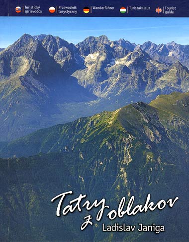
The book was written by the wellknown Slovak mountain guide and photographer Ladislav Janiga. His combination of ortophoto pictures of the Tatras valleys and peaks, together with color signed trails and theirs timing, looks like final guidebook solution. Could be done something better, may ask a reader? The picture side of the book is the strongest one. Readers can breath atmosphere of the Tatras with their flora and fauna, with their hiking and even climbing opportunities.
Descriptions of hiking trails and valleys are short, included is information regarding accommodation and catering in the valleys. Texts are in English, German, Hungarian, Polish and Slovak languages.
The guidebook has 190 pages and is composed from these parts: Vysoke Tatry - Slovakia (57 valleys and peaks), Belianske Tatry (2), Vysoke Tatry - Zapadne Tatry - Poland (15), Zapadne Tatry - Rohace (6), Zapadne Tatry - Liptovske Tatry (8).
Coauthors of pictures are Juraj Ksiazek (animals) and Marcin Jozefowicz (huts on the Polish side of the Tatras). Book was published in 2004 by its author Ladislav Janiga.
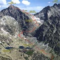
A global map of Tatras would be a good assistance for a reader who sometime may wonder what a valley is behind the mountain at the picture. Only small and simple schema maps of the Tatras are included in the book.